
CAPITAL SPRINGS PARK & FRIENDS VIDEO
In this video, learn about outdoor activities and natural habitats at the Capital Springs Recreation Area, and get an overview of the outreach programming organized by Friends of Capital Springs Recreation Area to enhance the visitor experience and welcome all to this wonderful place.
Developed by Judie Pfeifer, Treasurer of the Friends of Capital Springs Recreation Area.
CAPITAL SPRINGS RECREATION AREA MAP
 Trail or park questions?
Contact Clare
About CSRA
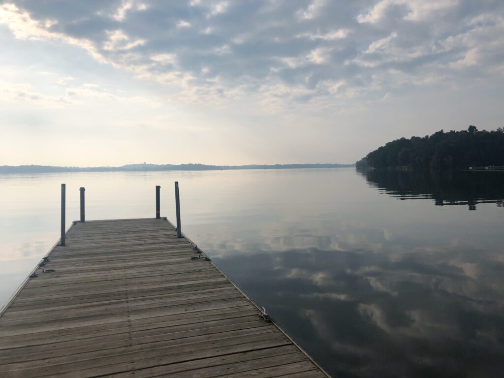
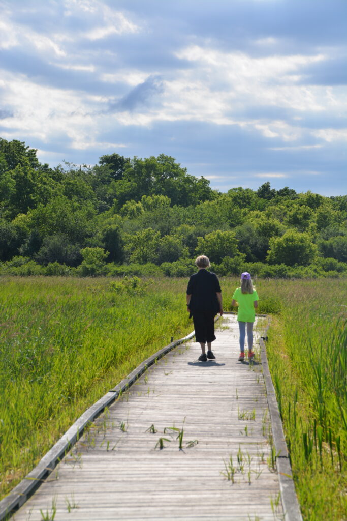
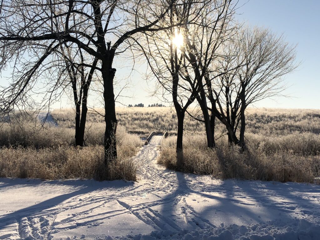
Visitors enjoy a system of trails through marsh, prairie, woodland, springs, creeks and lakes, proviging a healthy place for environmental learning and reflection.
HOW TO GET HERE:
From Madison or Interstate I-90, take the West Beltline (US Highway 12/18) to the South Towne Drive Exit (exit 264) and go south. Continue for almost one mile and then turn left on Moorland Road, which turns into Lake Farm Road after the road curves. The park is located about 1/4 mile past the curve at 3101 Lake Farm Road. You’ll see the Lussier Family Heritage Center and campground on your left. Stop by to pick up maps of the Park and see our interpretive information at the Lussier Family Heritage Center.
OVERVIEW OF RECREATIONAL ACTIVITIES:
Capital Springs Recreation Area is a great place for outdoor, close-to-home activities such as biking, hiking, bird and nature observation, boating, paddling, snowshoeing, and cross country skiing on groomed trails. Make use of shelters, campground and a group camp, park play equipment, disk golf, and a dog exercise area. Just under ten miles of the Capital City State Trail and the Lower Yahara River Trail – both paved trails – meander through a variety of habitats in the Capital Springs Recreation Area. These trails connect to other area bike trails and commuter routes into downtown Madison.
Park Map featuring Capital City State Trail
Units & Features
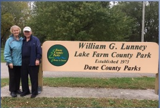
- Willam G. Lunney Lake Farm County Park, featuring Lower Yahara River Trail, campground, boat launch on Lake Waubesa, dog exercise area, disc golf course, shelters, Lake Farms Archaeological District, and groomed cross-country ski trails in winter.
- Lewis Nine Springs E-Way featuring prairie restoration, hiking, groomed cross-country ski trails, Capital City State Trail and Gilman Mounds cultural kiosks with rest area located on the Capital City State Trail.
- Jenni and Kyle Preserve
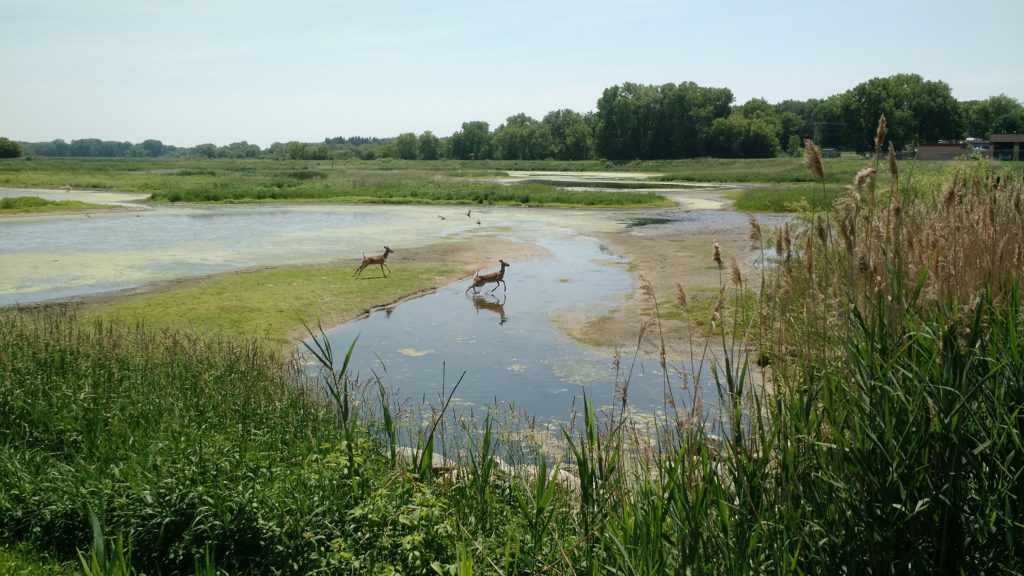
- Madison Metropolitan Sewerage District’s Wildlife Observation Area, Boardwalk and Deck – birding hotspot for shorebirds and waterfowl.
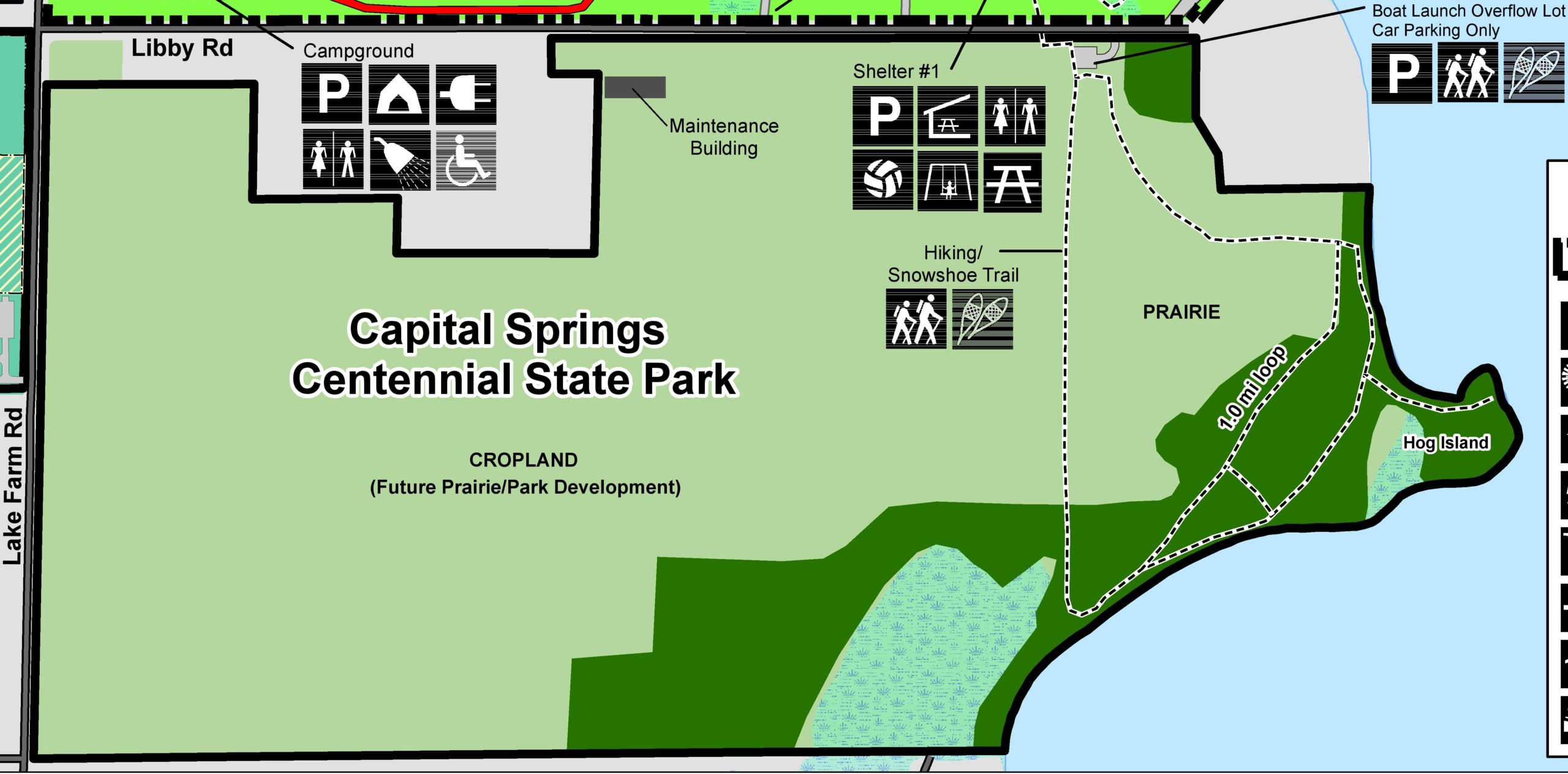
- Capital Springs Centennial State Park | Map, featuring nature hiking trails along undisturbed Lake Waubesa shoreline and winter snowshoe trails.
- Lussier Family Heritage Center (3101 Lake Farm Road, Madison), Dane County facility focusing on environmental education and available for rental space. Prairie Learning Center at CSRA, headquartered at the Heritage Center.
- Monona Wetland Conservancy
- Nevin Springs
- Upper Mud Lake
Capital Springs Supervisors
Friends Naturalist Coordinator: Clare Carlson, (608) 224-3606
Dane County Engagement and Visitor Services: Lael Pascual, (608) 224-3604
Dane County Parks Director: Joleen Stinson, (608) 422-0657
Dane County Volunteer Coordinator: Claire Lamberg
CSRA Park Ranger: Stener Knutson, (608) 287-4711
DNR Property Supervisor, Bill Bursaw william.bursaw@wisconsin.gov
History of CSRA
Capital Springs Recreation Area Master Plan
The vision for Capital Springs started in January 2000, with a successful proposal to establish a centennial park that would serve as the “crown jewel” of the Nine Springs E-Way project.
The landscape of the Capital Springs Recreation Area was first developed in 1969 under a project created by University of Wisconsin-Madison, Department of Landscape Architecture and directed by Professor Philip Lewis, Jr. This project, called the Nine Springs E-Way, worked to develop the land delineated along a system of water, wetlands and steep topography that created a natural buffer between the natural and urban areas in the Nine Springs region. It was to develop a model where natural and urban areas in Madison and Dane County were linked for the purposes of environmental education. The model was called the E-Way, “E” standing for educational, ecological, exercise, esthetic and environmental.
The E-Way existed relatively unchanged until the year 2000. As the centennial year approached, the State and County hoped to expand and update the E-Way plan by creating a new centennial park. The planning process began in 2002 for this new property, the Capital Springs Recreation Area, and has included several different phases involving State, County and local governments.