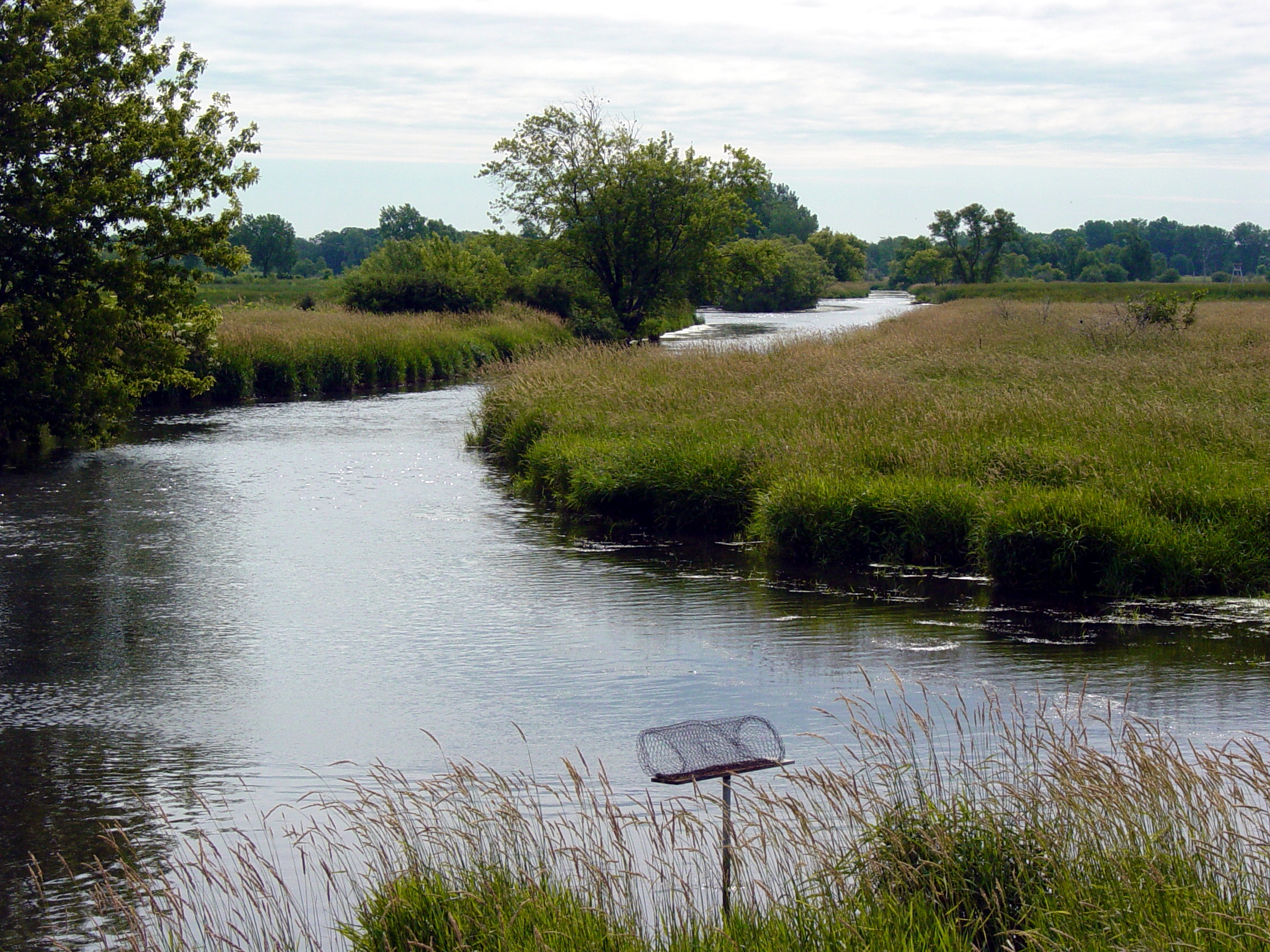
The Lewis Nine Springs E-Way consists of a large marsh called the Nine Springs Marsh, Nine Springs Creek, sedge meadows, woodlands and many large springs. These features provide ideal habitats for a wide variety of vegetation and wildlife.
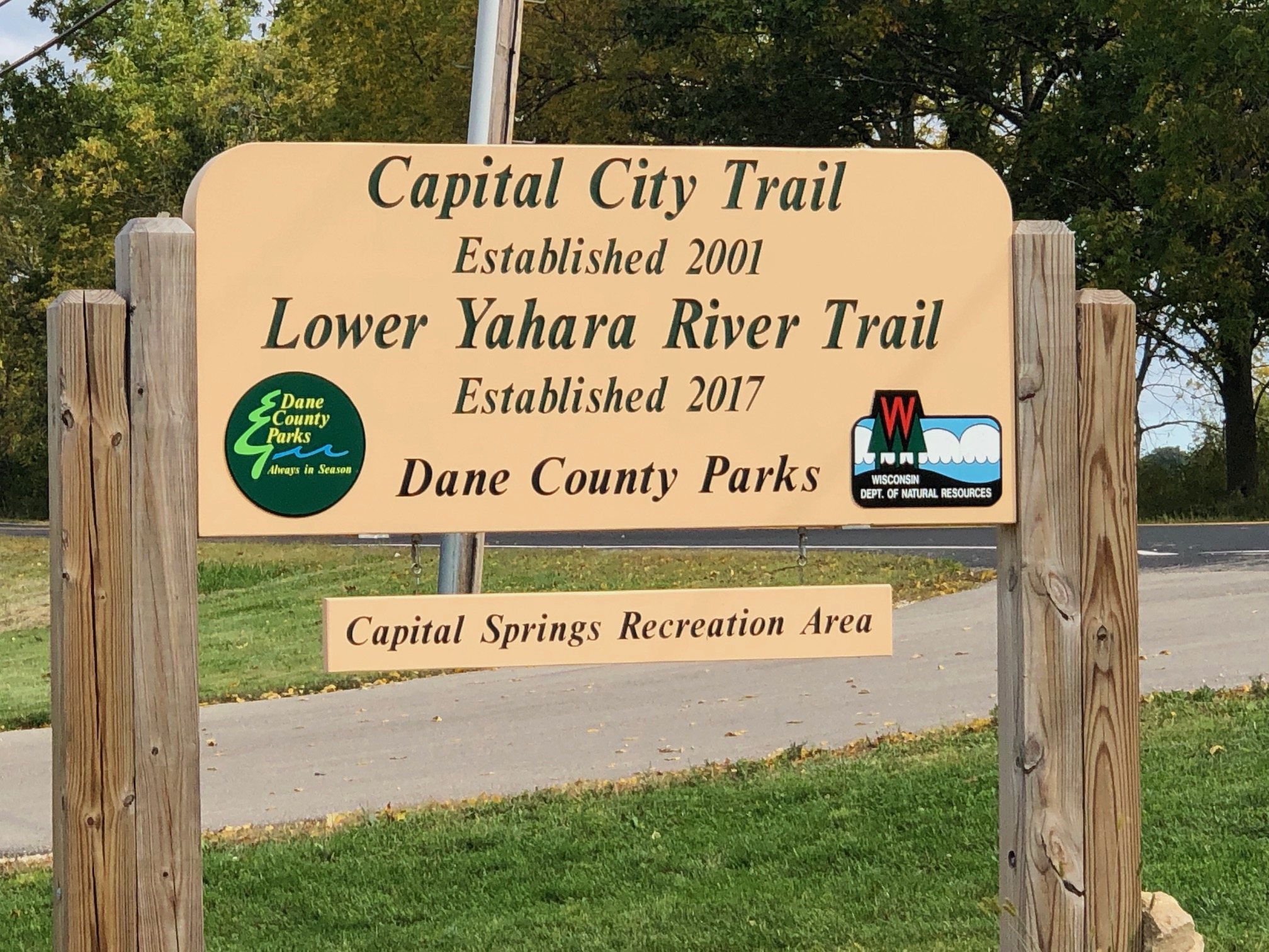
Enjoy the Capital City State Trail through the E-Way.
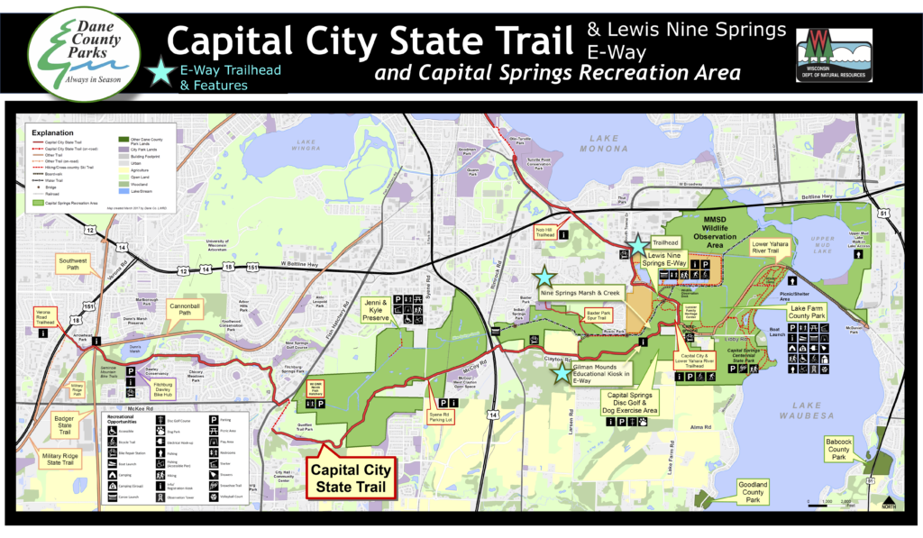
CAPITAL SPRINGS RECREATION AREA MAP WITH E-WAY
OFFICAL DANE COUNTY: LEWIS NINE SPRINGS E-WAY | CROSS-COUNTRY SKI MAP
DANE COUNTY PARKS: LEWIS NINE SPRINGS E-WAY PAGE; GROOMED SKI TRAIL MAP
Features
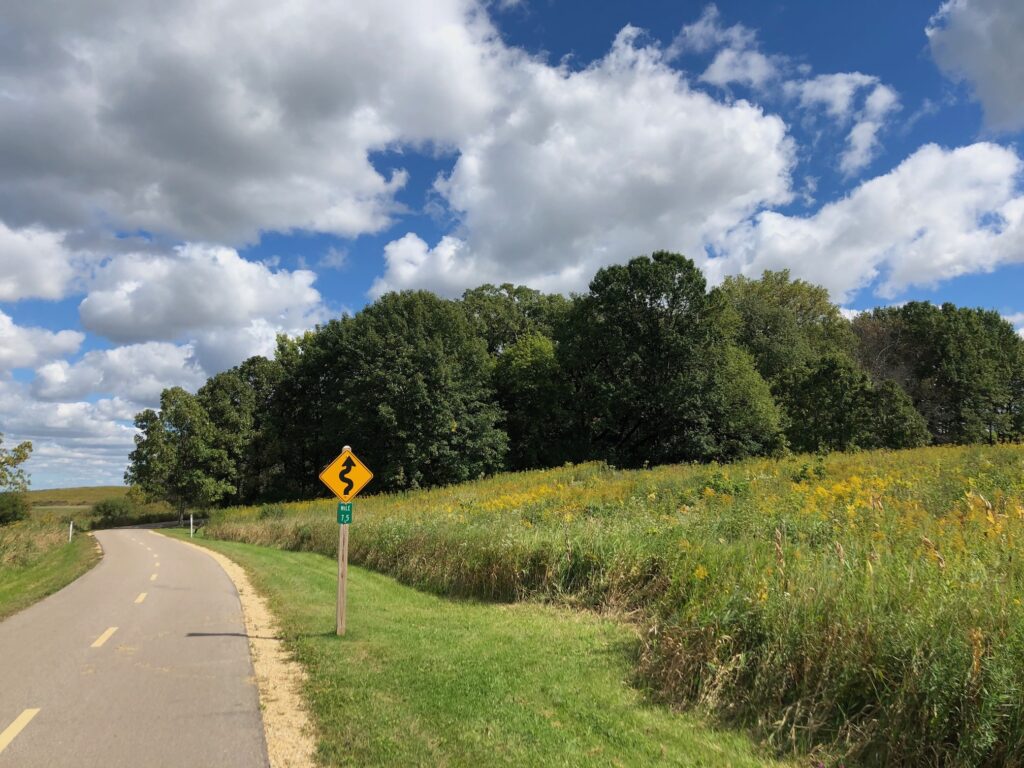
The Lewis Nine Springs E-Way Unit features the Nine Springs Marsh and Creek. It is a large area encompassing most of the other Capital Springs Recreation Area units within its corridor. Thanks to the efforts of Dane County Parks, which has been responsible for acquiring and overseeing parcels of land within the E-Way since 1970, visitors have the opportunity to enjoy this unit through a six-mile system of intricate trails.
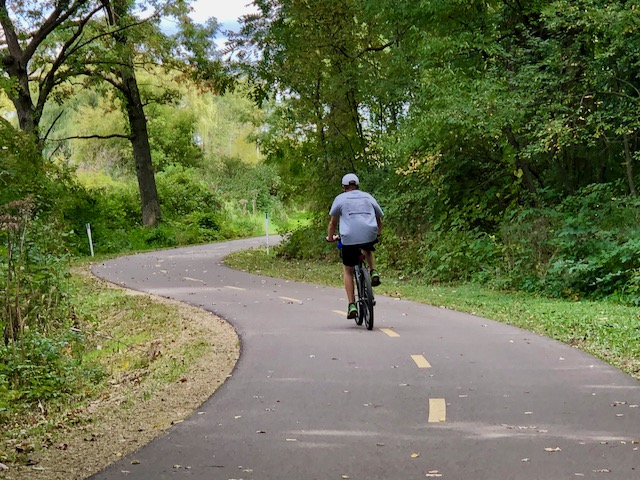
Recreation: miles of trails for hiking, biking, skiing, running, and wildlife observation (see descriptions below).
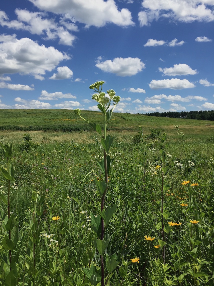
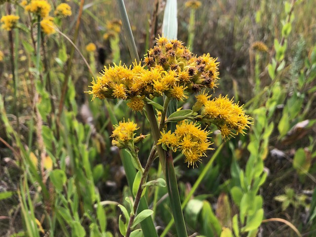
Nature: large wetlands/marsh complex (Nine Springs Marsh), Nine Springs Creek, drumlins, prairie restorations, and oak woodlands
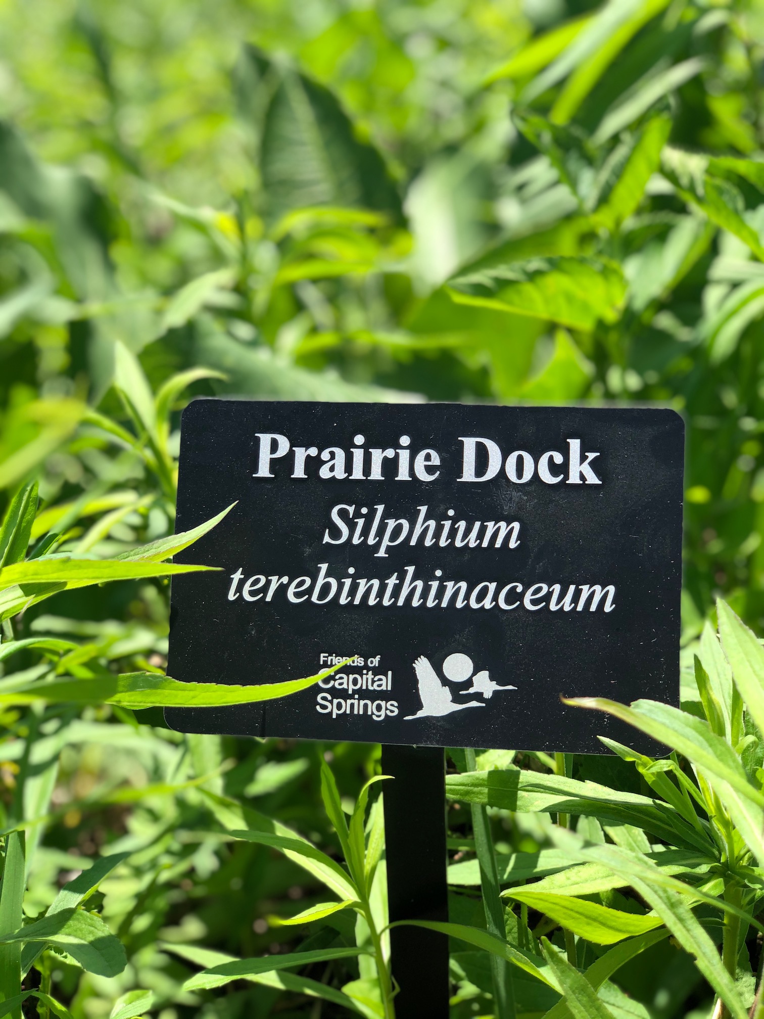
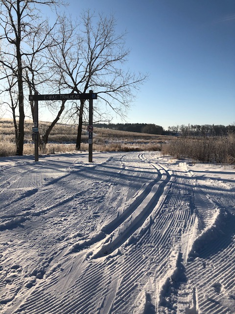
Educational: kiosks at Lewis Nine Springs E-Way trailhead, cultural history at Gilman Mounds kiosk, seasonal prairie plant markers on Drumlin trails
E-WAY IMAGES
TRAILS
- E-WAY TRAILS AT MOORLAND ROAD TRAILHEAD: Drumlin trails and Nine Springs Marsh trails, two bridges
- SPUR TRAIL CONNECTING TO BAXTER PARK: contains boardwalk to an existing clear span bridge over Nine Springs Creek for additional biking and hiking.
- SPUR TRAIL CONNECTING TO INDIAN SPRINGS: visitors enjoy hiking and cross-country skiing on a mowed grass spur trail off of the Capital City Trail in the E-Way.
- NORTHEAST SPUR TRAIL FROM CAPITAL CITY TRAIL: offers a bridge that crosses the Nine Springs Creek and continues north and east, providing access to both Indian Springs and the trail to Baxter Park. Deer archery hunting is allowed by permit.
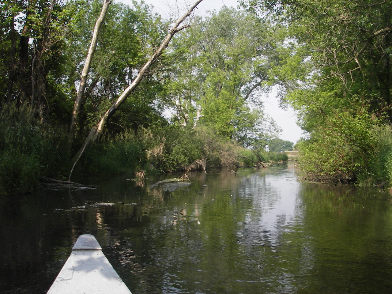
- WATER TRAIL ON NINE SPRINGS CREEK: paddle from the Yahara River near Lake Waubesa to County Road MM and Rimrock Road on the Nine Springs Creek. A paddle trip is a wonderful way to explore the E-Way!
To Get There
A trail parking lot to enter the E-Way is located at 1947 Moorland Road, Madison.
To paddle Nine Springs Creek, use the following landings: one is available at the end of Anderberg Drive and County Road MM, and the second landing is located off Mooreland Road at Capital Springs State Park.
History
In 1969, the National Endowment for the Arts funded a proposal submitted by UW-Madison Professor Philip Lewis for the development of an environmental study model to “show how a community can identify and capitalize on existing natural and manmade resources in an effort to elevate environmental, ecological, and esthetic planning decisions to a higher priority within the community development decision-making process”.
As a result of this vision, a seven-mile natural corridor along the south-central side of Madison was designated as “The E-Way”, a natural laboratory used for the study of education, ecological, esthetic and environmental values. Running east from the shores of Lake Waubesa at Lake Farm Park, to the west at Dunn’s Marsh along Seminole Highway, the E-Way links large areas of wetland and sedge meadows, prairie, native forests, and many large springs flowing into Nine Springs Creek.
For more information about the Lewis Nine Springs E-Way and other areas of Capital Springs Recreation Area, please see the Capital Springs Visitor’s Guide.